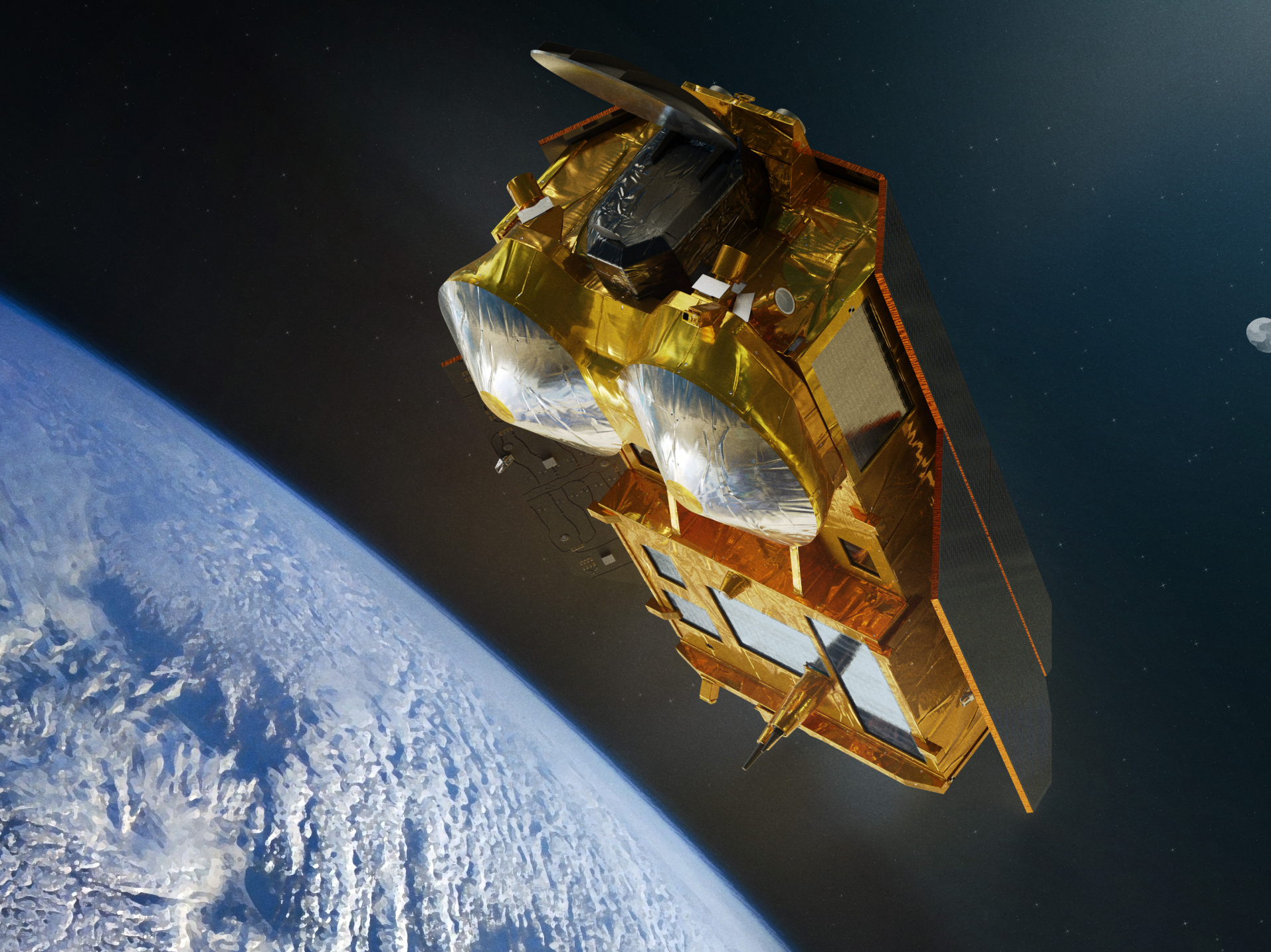
Open-Loop Tracking Command for CRISTAL
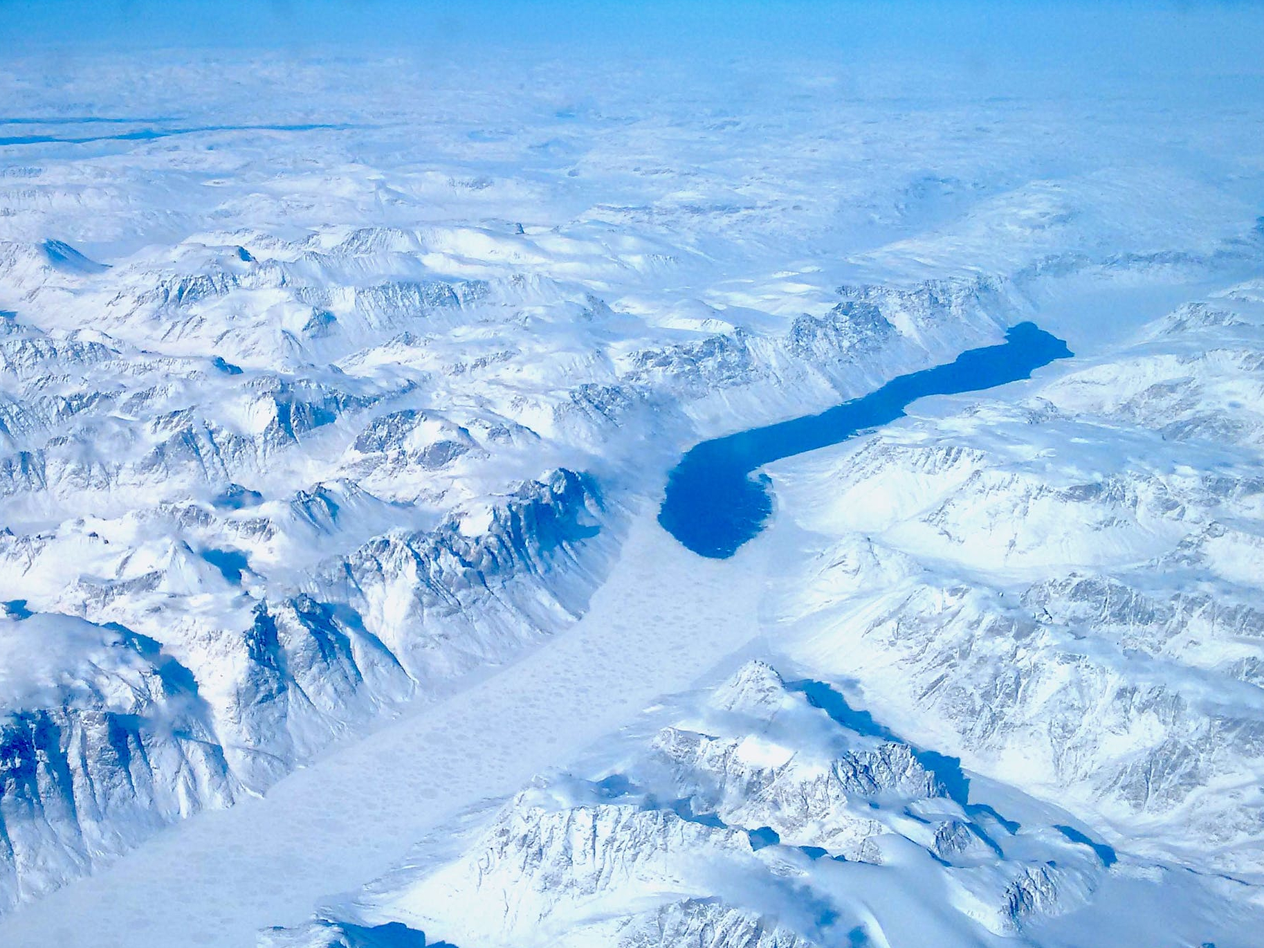
CryoTEMPO-EOLIS products
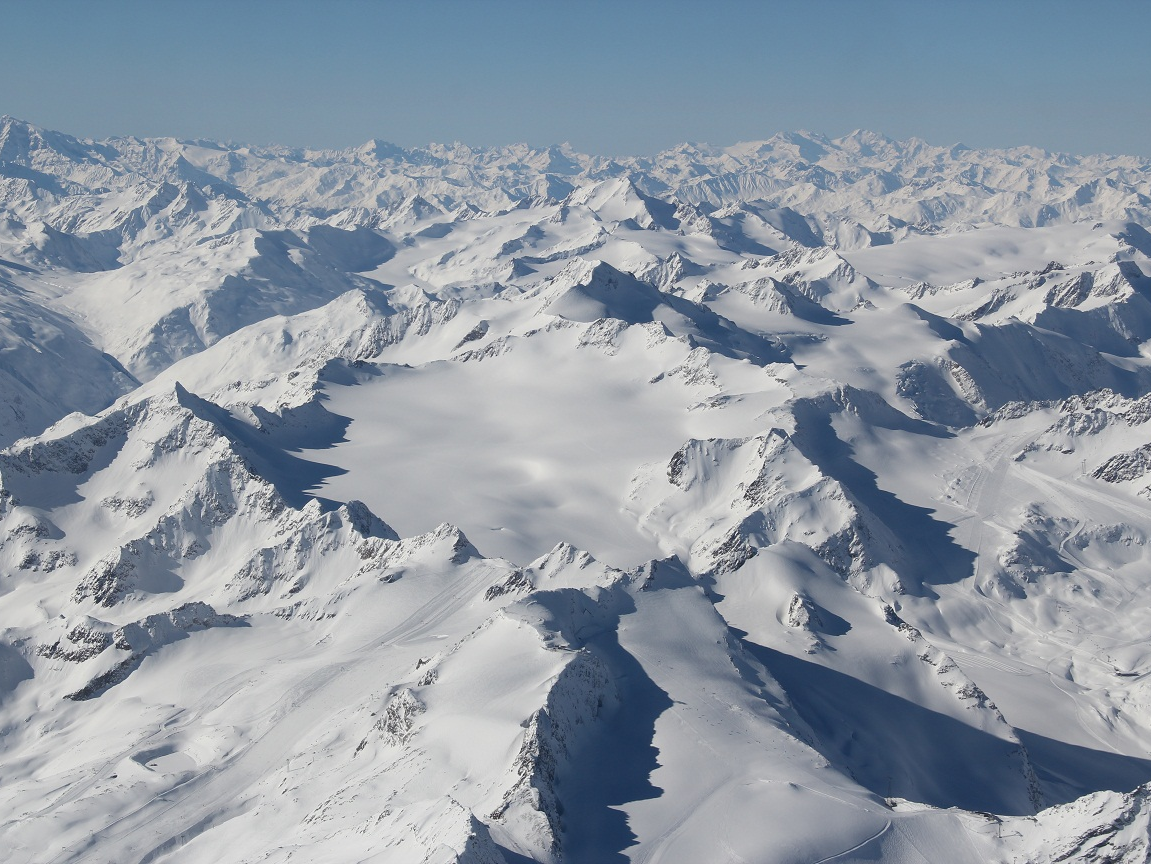
admin2026-05-29T12:29:02+00:00High resolution altimetry products from CryoSat-2
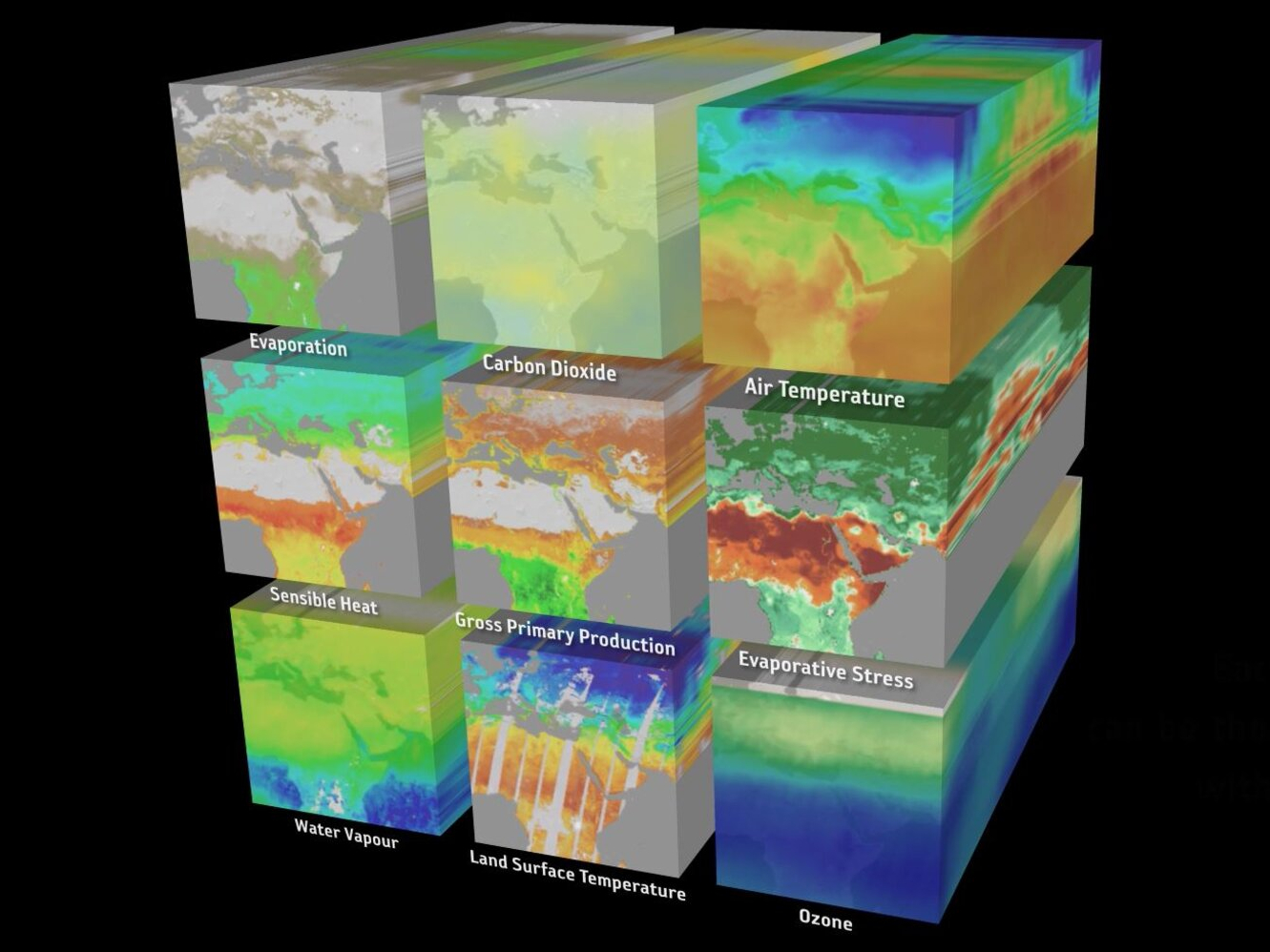
CS2EO data platform
admin2026-05-29T12:29:02+00:00High performance query platform for Earth Observation
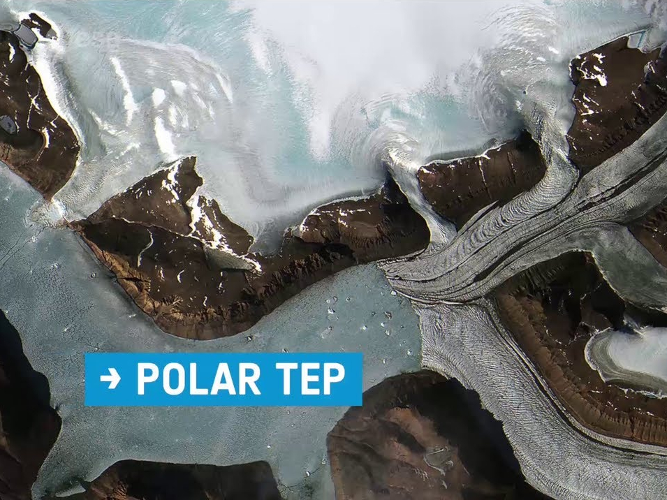

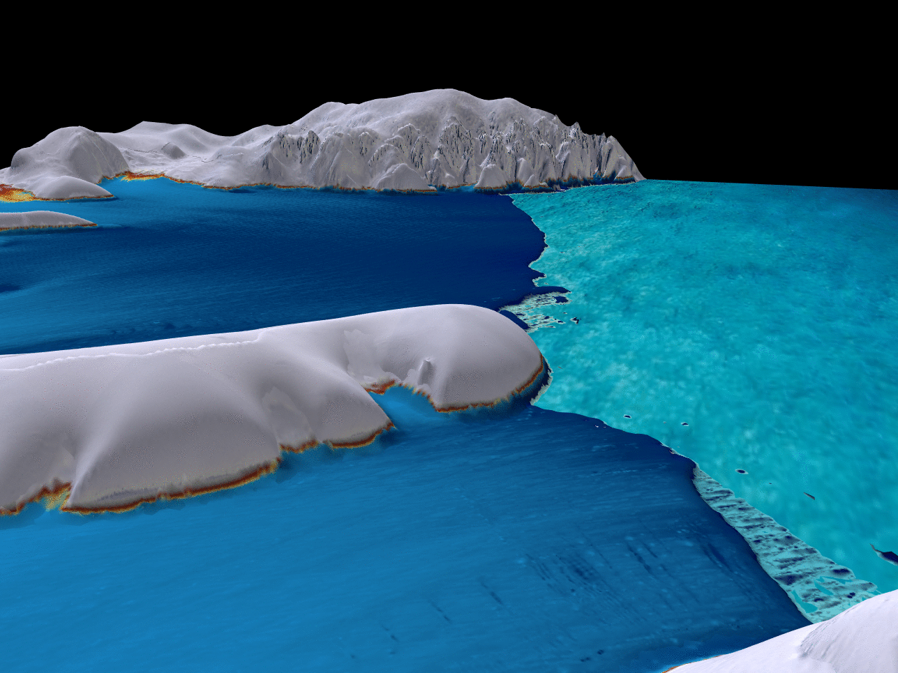
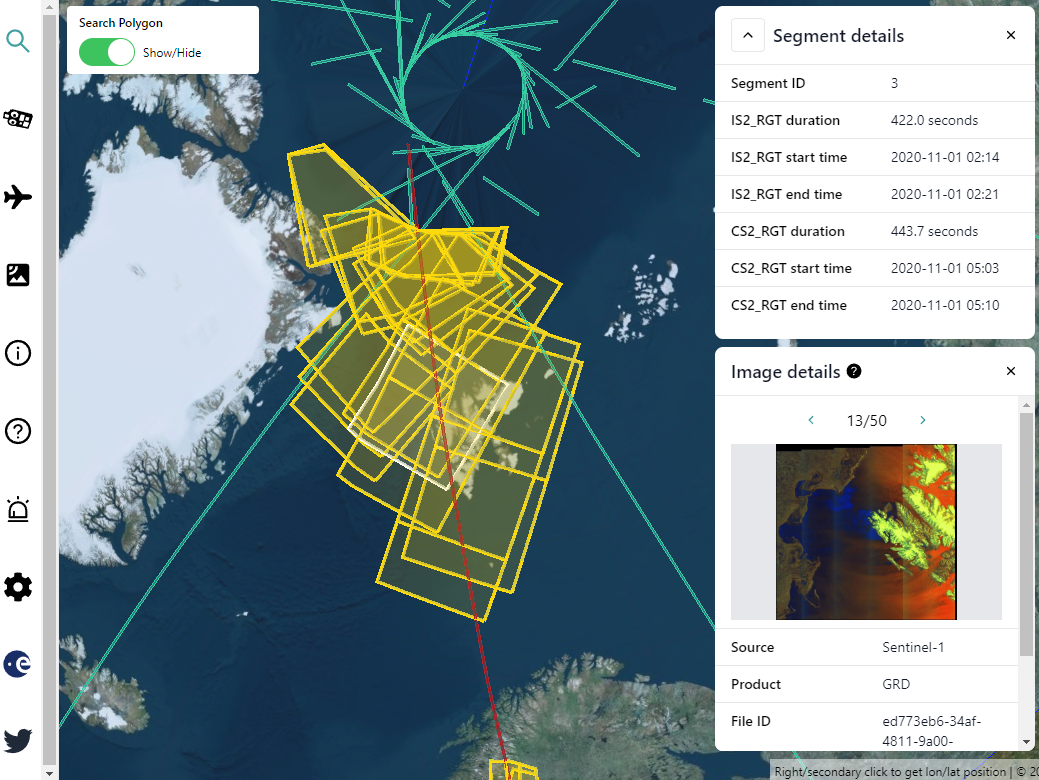
Polar+ Ice Shelves
admin2026-05-29T12:29:03+00:00Producing Earth Observation data sets over ice shelves