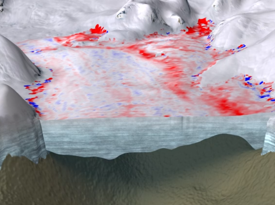
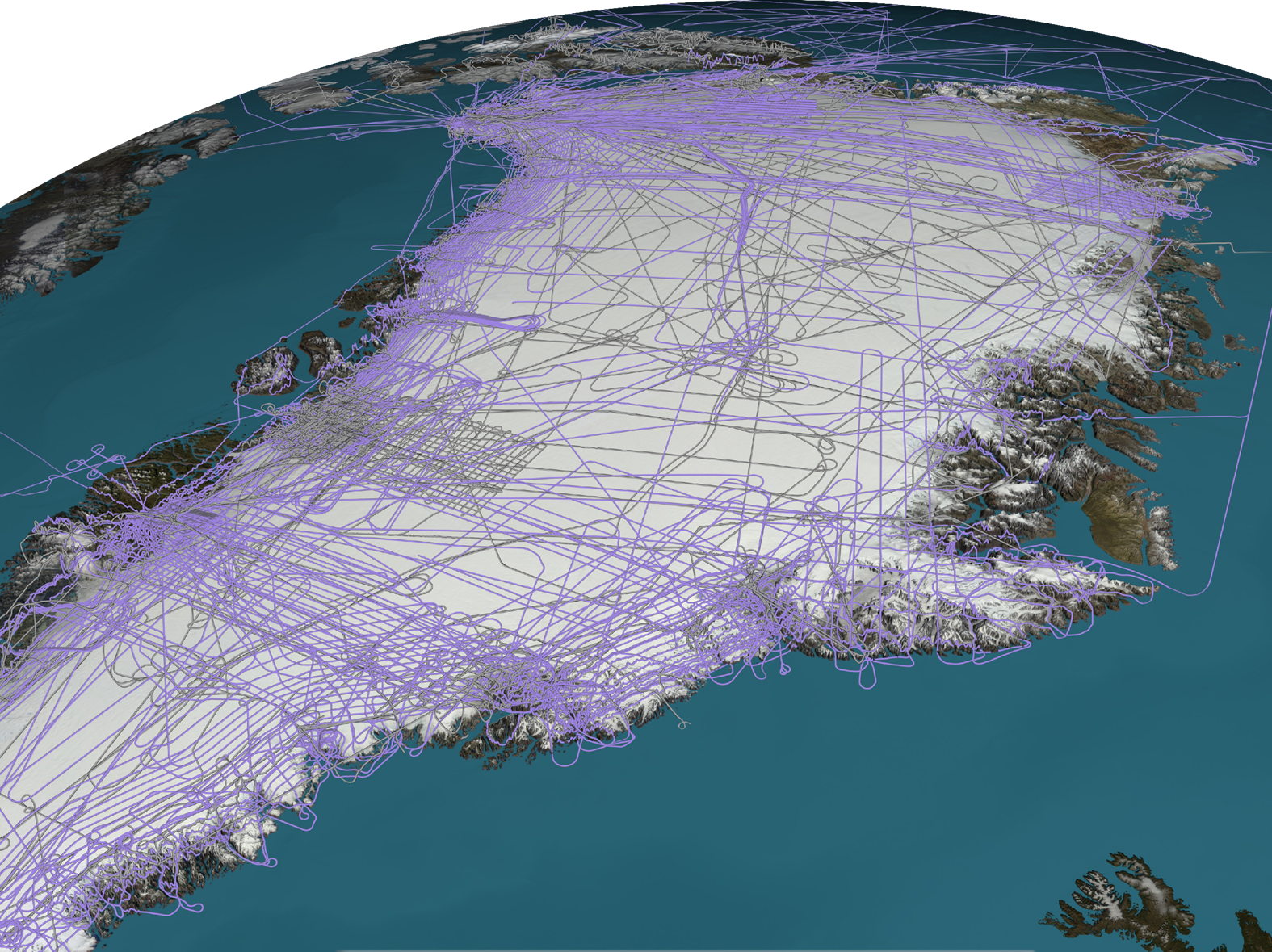
4D Greenland 4D Greenland Cryosphere, Data Processing, Research, Satellite Data admin2026-05-29T12:29:03+00:00 Reconstruction of Greenland's hydrology
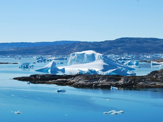
4D Antarctica 4D Antarctica Satellite Data admin2026-05-29T12:29:03+00:00 Reconstruction of Antarctica's hydrology
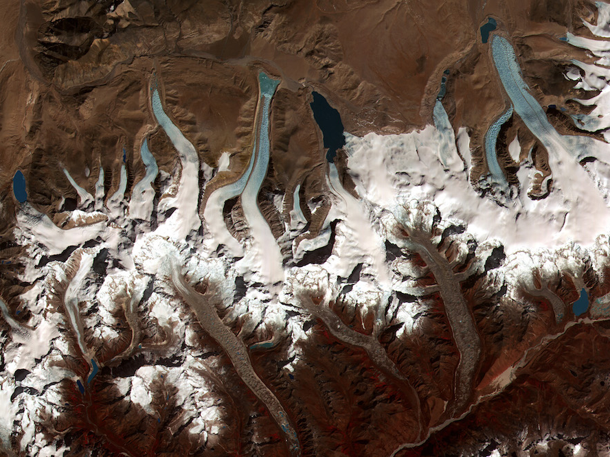
CryoSat+ Mountain Glaciers CryoSat+ Mountain Glaciers Algorithm Development, Altimetry, Cryosphere, Data Processing, Research, Satellite Data admin2026-05-29T12:29:03+00:00 Global glacier change from radar altimetry
CryoSURF CryoSURF Algorithm Development, Altimetry, Cryosphere, Data Processing, Deep Learning, Research, Satellite Data admin2026-05-29T12:29:04+00:00 Deep learning with CryoSat