Mountain Glaciers and CryoSat
Project Description
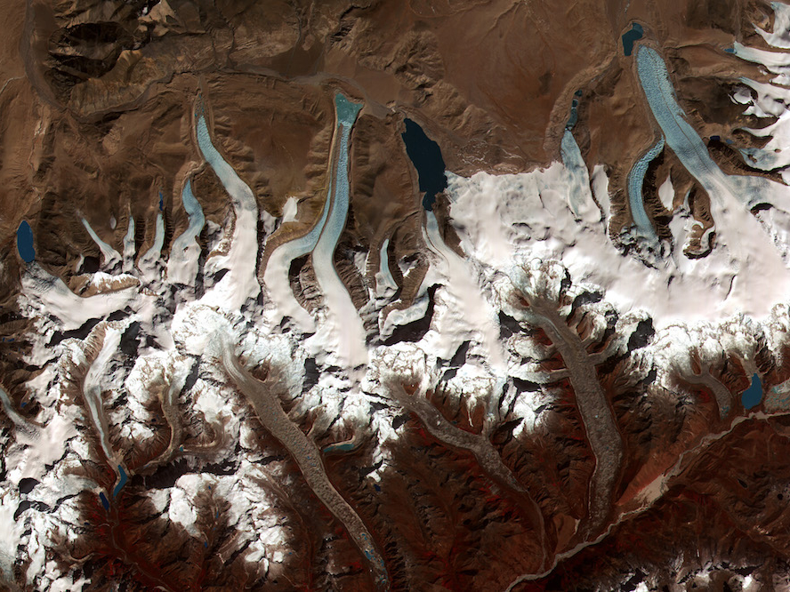
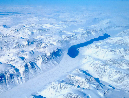
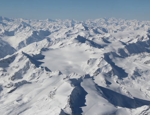
The Mountain Glaciers project generated swath elevation over the mountain glacier regions using data from the CryoSat satellite radar altimeter. From the swath elevations, rates of surface elevation change, mass change and contribution to sea level rise are quantified to estimate global impact of the target area.
Project Details
Project Duration: 2019 – 2020
Project Partners:
- European Space Agency (ESA)
- University of Edinburgh
- isardSAT
- ENVEO