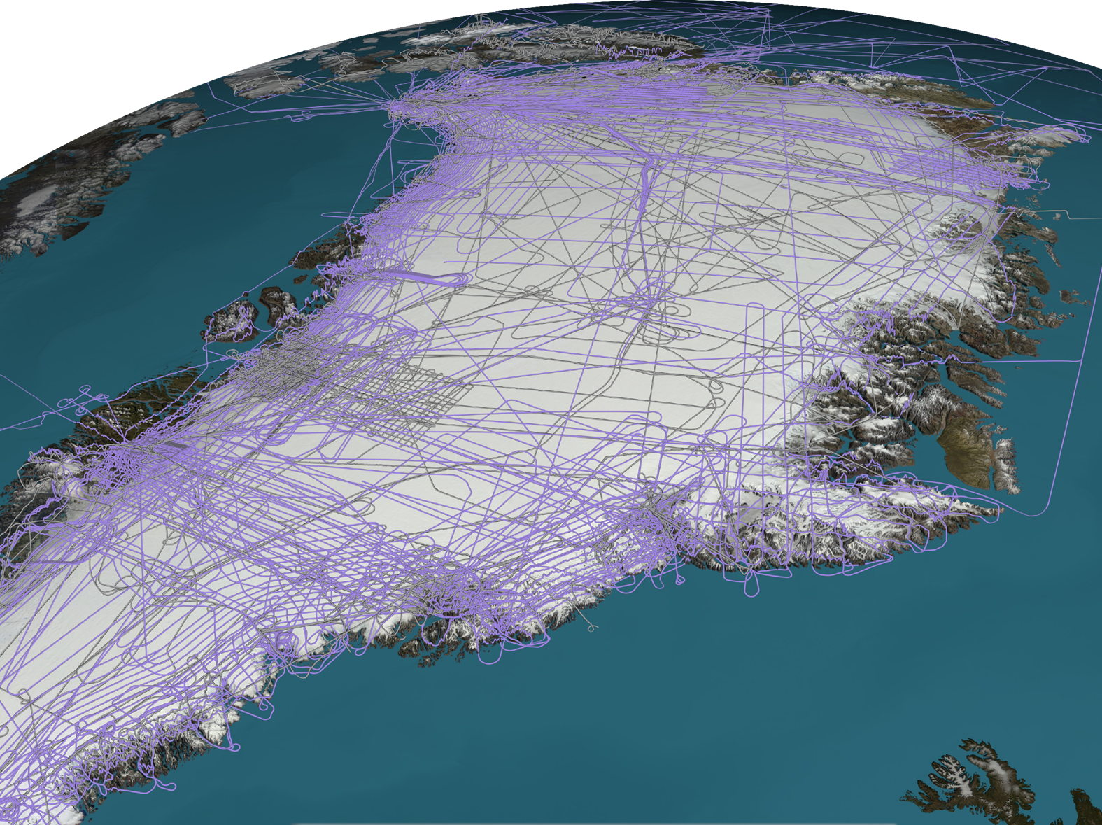
CryoSurf

2020-12-22T08:47:30+00:00

CryoSurf Project Description The European Space Agency (ESA), Earthwave and The University of Edinburgh (UoE) have made significant progress with the completeness and accuracy of CryoSat-2 SAR-In Swath elevation models. However the scientific perfectionists in all of us strive for the next level using the latest technological tool set. Ice-sheets are a current [...]

Deep Learning with CryoSat

2020-12-28T17:19:19+00:00

Deep Learning with CryoSat Project DescriptionCompensating for penetration in radar altimetry cryosphere elevation estimates using deep learning: EarthWave conducted a feasibility study using Swath radar altimetry and Operation Icebridge Lidar data fused together and to train a neural network to improve elevation estimates. Our model compensates for 70-90% of the mean penetration, while reducing [...]

Go to Top